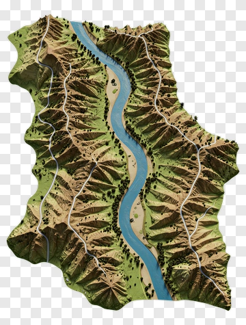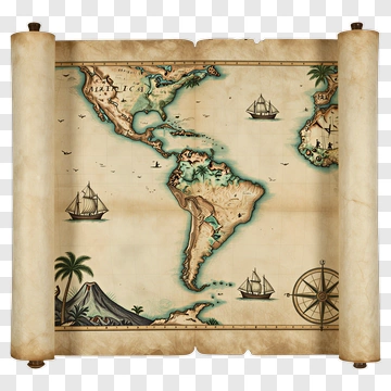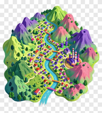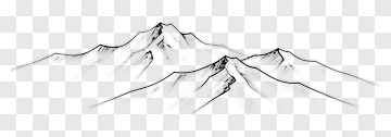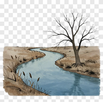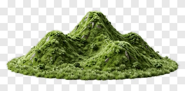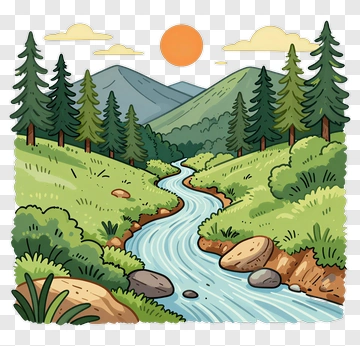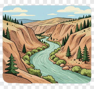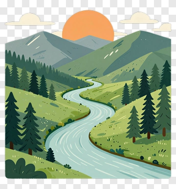
Illustrated Map Of A River And Mountains PNG
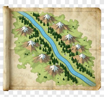
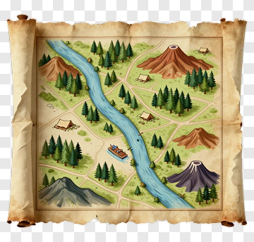
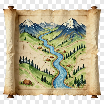
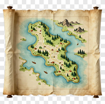
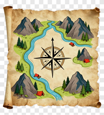
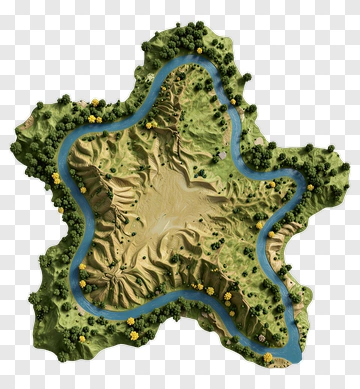
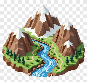
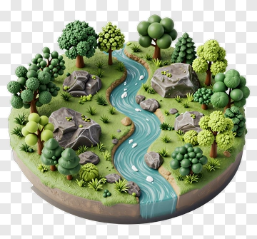
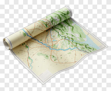
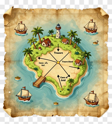
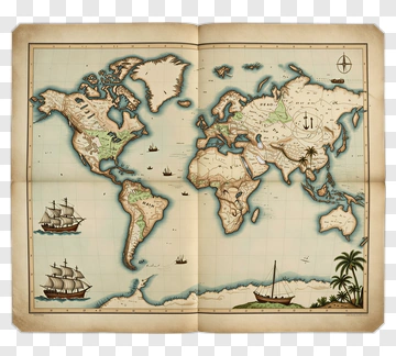
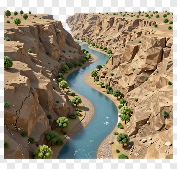
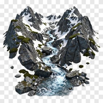
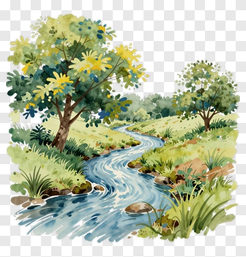
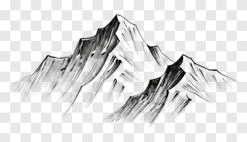
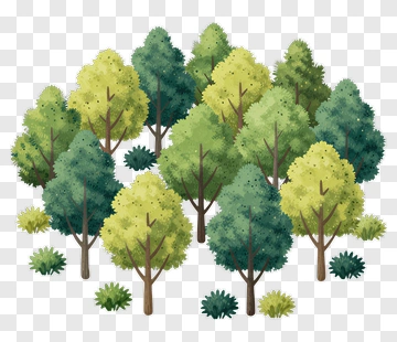
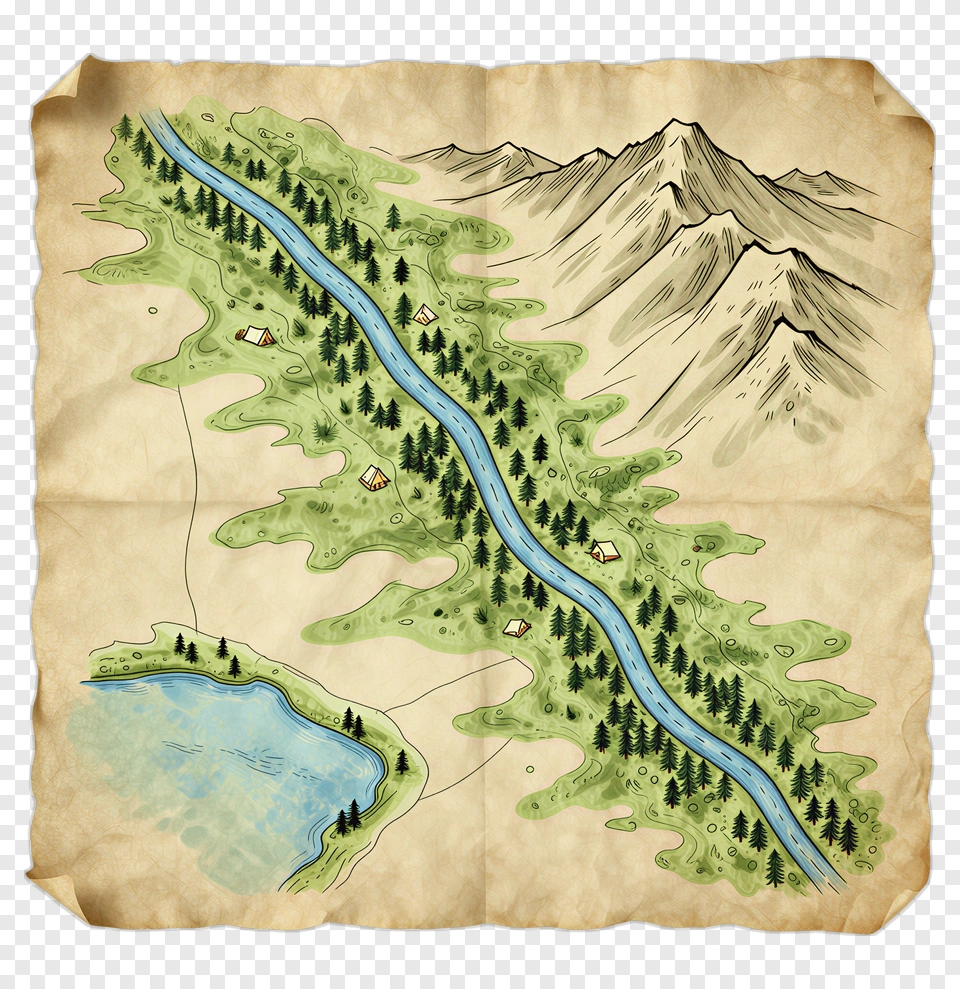
A Detailed Illustrated Map Showing A River Winding Through Mountains And Forests. This high-quality PNG is Perfect for Adventure Planning Materials, Outdoor Event Invitations, Travel Brochures, Educational Geography Resources.
Non-commercial use, DMCA Contact Us
PNG Info
- Dimensions :
- 2088 x 2008px
- MIME type :
- Image/png
- File size :
- 6.3 MB
- Designed By :
- pngdex.com
- Transparent Background :
- Verified
Share this PNG
About Illustrated Map Of A River And Mountains PNG
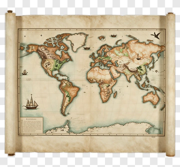
This Illustrated Map Features A Winding River Flowing Through A Mountainous Landscape. Green Forests Line The Riverbanks, While Small Houses Are Scattered Throughout The Terrain. A Serene Lake Is Visible At The Bottom Of The Map, Adding To The Natural Beauty Of The Scene. The Vintage Style Of The Map Gives It A Classic, Adventurous Feel.