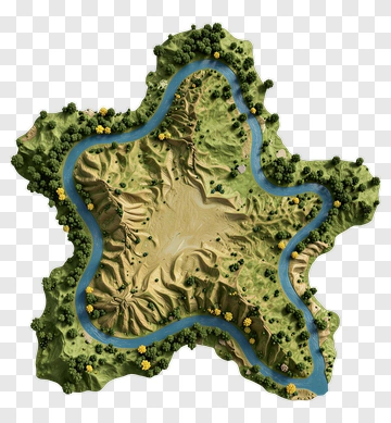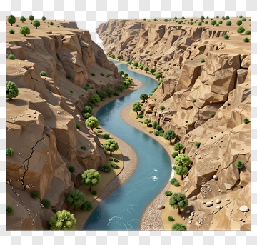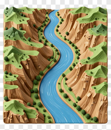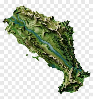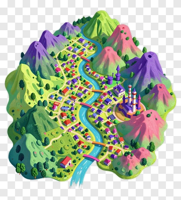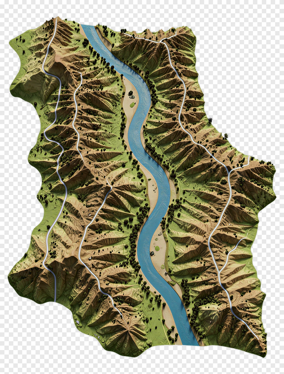
Topographic Map Of A River Valley PNG
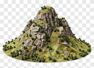
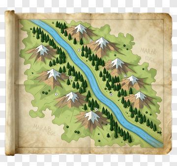
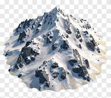
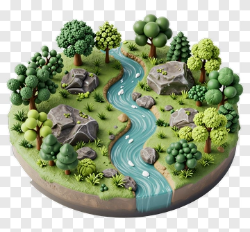
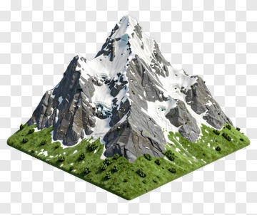
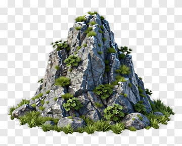
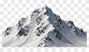
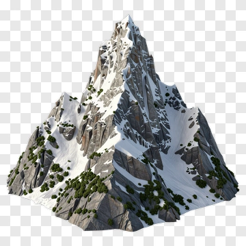
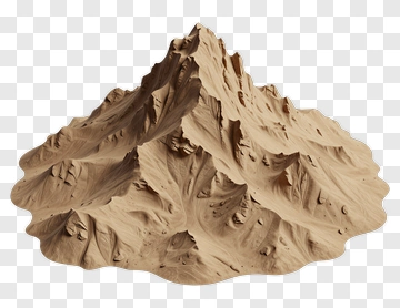
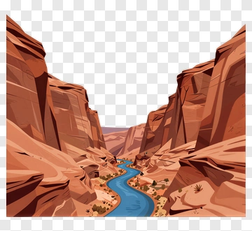
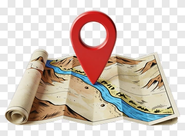
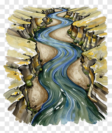
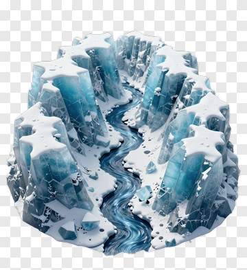
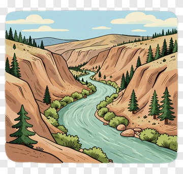
A Detailed Topographic Map Depicting A River Winding Through Mountainous Terrain. This high-quality PNG is Perfect for Geographic Education Materials, Outdoor Adventure Planning, Landscape Architecture Presentations.
Non-commercial use, DMCA Contact Us
PNG Info
- Dimensions :
- 1838 x 2288px
- MIME type :
- Image/png
- File size :
- 6.0 MB
- Designed By :
- pngdex.com
- Transparent Background :
- Verified
Share this PNG
About Topographic Map Of A River Valley PNG
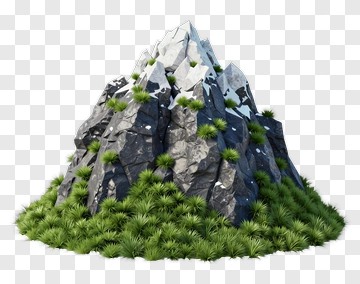
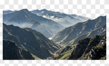
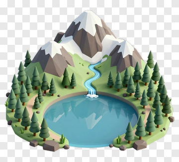
This Topographic Map Features A River Flowing Through A Valley Surrounded By Rugged Mountains. The Elevation Changes Are Illustrated With Contour Lines, While The Lush Green Areas Indicate Vegetation. The Winding Blue River Contrasts Beautifully With The Earthy Tones Of The Mountains, Creating A Vivid Representation Of The Landscape.